The Old Grainery
Illinois State Geological Survey 1985, Pike County Il Map, 1961 Hull Il Wall Map
Illinois State Geological Survey 1985, Pike County Il Map, 1961 Hull Il Wall Map
Couldn't load pickup availability
We are offering all of these vintage maps as one lot. Instagram: theoldgrainery You are also welcome to visit or call us Monday-Friday 9am-4pm Central Time to discuss purchases. Our number is 217-779-3992. Be prepared with the title.
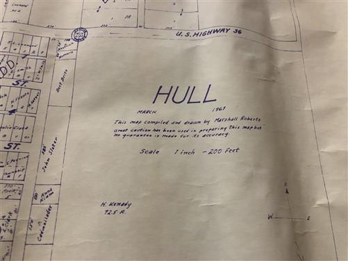
There are 5 of the maps of Hull Illinois, all measuring approximately 23" x 23" and dated 1961.
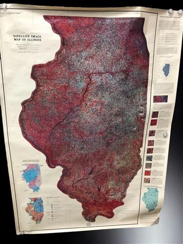
The large map is dated 1985 - Satellite Image Map of the State of Illinois measuring approximately 37" side to side and 57" top to bottom.
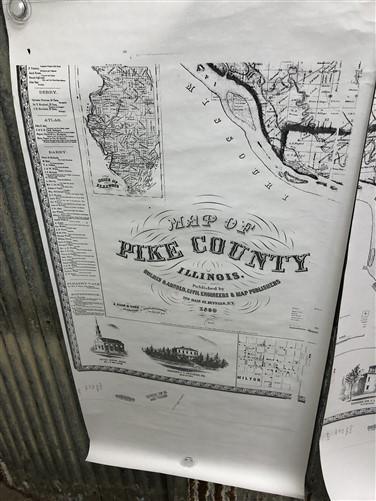
The map of Pike County Il is actually 6 pieces and shows the date of 1860 and the name Holmes & Arnold, Civil Engineers & Map Publishers. Overall measurement is approximately 53" side to side and 68" top to bottom.
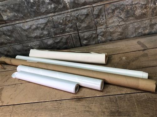
These maps have been rolled for storage.
Facebook: The Old Grainery Architectural Salvage and Antiques